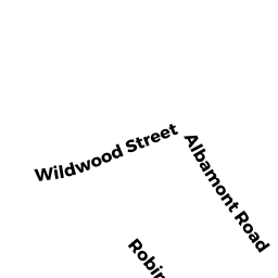
34 ROBINHOOD RD
Owner Information
KING RICHARD J + BONNIE HARDY
34 ROBINHOOD ROAD
WINCHESTER, MA 01890


Property Details
34 ROBINHOOD RD is classified as a Single Family Residential (Colonial).
The primary structure on this property was built in 1959. There are 3,380ft2 of built area within this property. There is 3,380ft2 of residential/living space within this property. This property is listed as having 8 rooms.
34 ROBINHOOD RD is valued at $1,060,700. The land is valued at $532,400 and the structures are valued at $514,500. There is an additional valuation of $13,800 on this property.
This property is in Zone RDB. Confirm with local Zoning Board authorities to ensure there are no overlays or other easements on this property.
34 ROBINHOOD RD was last sold on Friday, May 16, 2003 for $752,000.
Assessment data from fiscal year 2021.
Flood Data
According to the FEMA National Flood Hazard Layer, this property does not appear to be in a flood zone. It may also be in an area not yet reviewed. Nonetheless, confirm this information prior to taking any action.
To view the flood hazards around this property, create a FEMA "Firmette" Map of the area around 34 ROBINHOOD RD.
Broadband Internet Providers
| Provider | Type | Bandwidth (mbps) | |
|---|---|---|---|
| Verizon New England Inc. | Fiber | 940 | 880 |
| GCI Communication Corp. | Satellite | 0 | 0 |
| Comcast | Cable | 1000 | 35 |
| Verizon New England Inc. | DSL | 1 | 0 |
| VSAT Systems, LLC. | Satellite | 2 | 1 |
| Viasat Inc | Satellite | 100 | 3 |
| HughesNet | Satellite | 25 | 3 |
Broadband service provider data from December 2020.
Adjacent Properties
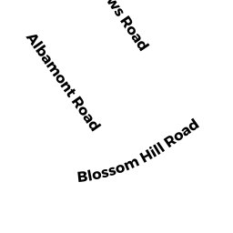
- 21 BLOSSOM HILL RD
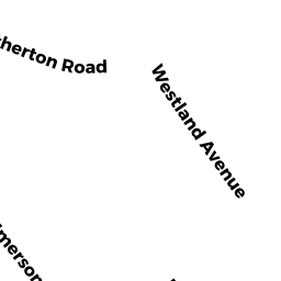
Single Family Residential owned by MACRAE MYRNA C + JOHN - 57 WESTLAND AV
Single Family Residential owned by URZUA ALFREDO + JACQUELINE 201 - 30 ROBINHOOD RD
Single Family Residential owned by ALEXOPOULOS MICHAEL P + EILEEN - 36 ROBINHOOD RD
Single Family Residential owned by SCHILLER JEFFREY + LAUREN